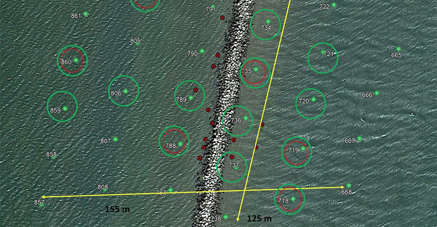
Shoreline Change Analysis, Sea Turtle Abundance and Marsh Habitat in the Louisiana Barataria Basin Project Summary
Infrastructure development, significant weather events, and sea level change challenge the Remote Sensing Division to collect and interpret imagery products as quickly as possible to ensure that navigational charts representing both man-made and natural features are as accurate as possible. The Coast and Shoreline Change Analysis Program, or CSCAP, specifically targets this mission by assessing satellite and aerial imagery for relevant changes to these critical navigational areas which have the potential to affect the safety of navigation.

